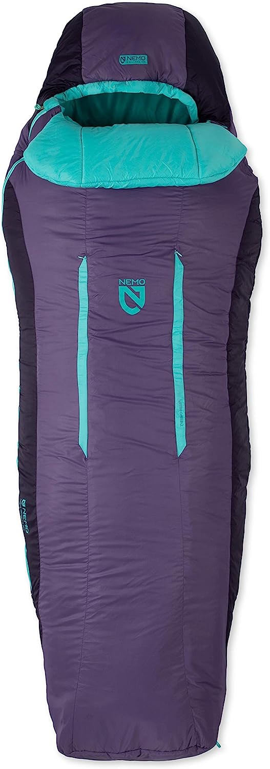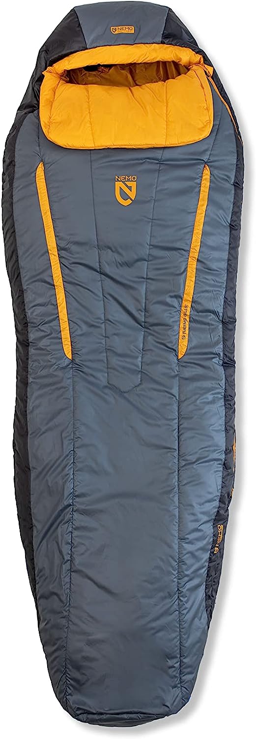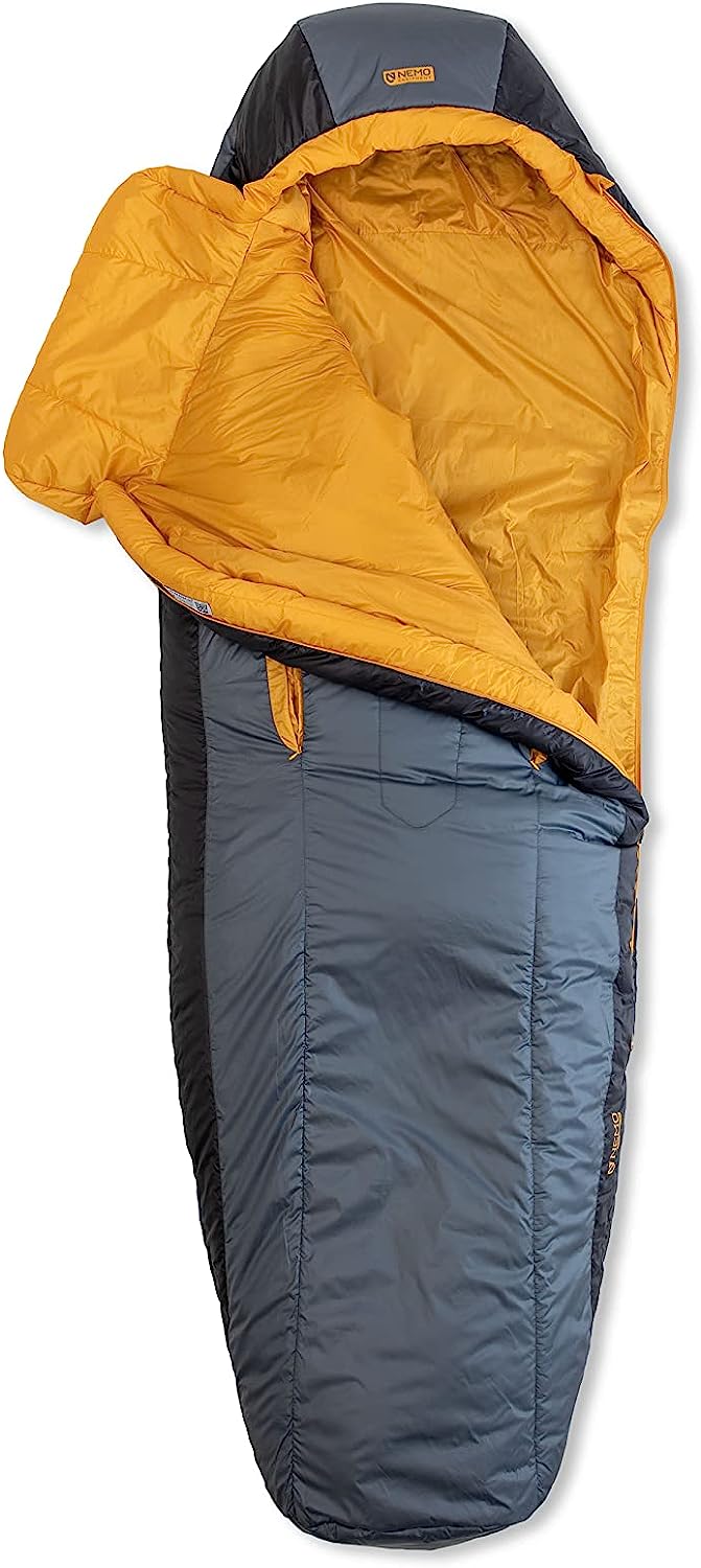
Etrex Touch
Etrex Touch
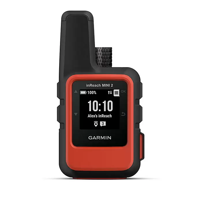
This essential, simple-to-use touchscreen GPS handheld offers preloaded TopoActive maps with routable trails and roads for your outdoor adventure. Plus, the durable design and long battery life help you enjoy all your activities even more.
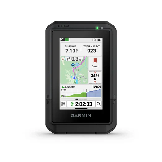
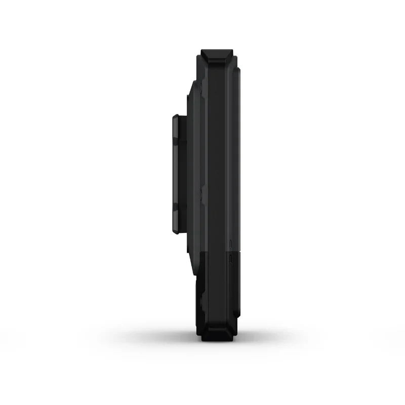
TOUCHSCREEN
The slim, pocket-size handheld navigator features a bright 3-inch high-resolution color touchscreen so you can easily swipe and zoom to follow your route.
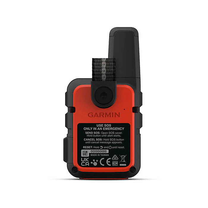
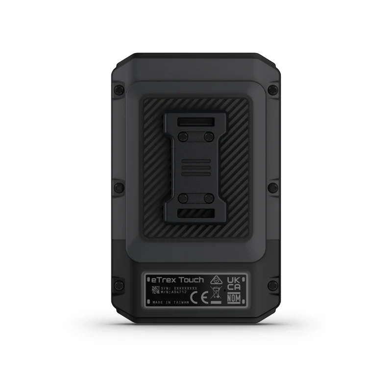
RUGGED DESIGN
The eTrex Touch navigator is purpose-built with an IP67 water rating and impact-resistant (MIL-STD-810) design to withstand weather and rugged conditions.
PRELOADED MAPS
View detailed TopoActive maps for roads and trails, and see terrain contours, topographic elevations, summits, parks, rivers, lakes and geographical points plus thousands of points of interest. Plus, get easy access to additional TopoActive mapping around the globe.
OUTDOOR MAPS+
Purchase a subscription to Outdoor Maps+ for ongoing access to a wide variety of premium mapping content, including satellite imagery, campgrounds and more. Download and receive automatic updates via Wi-Fi® technology.
PLAN AND REVIEW YOUR TRIP
Connect with the Garmin Explore app to plan and review trip data on your smartphone or tablet and manage your waypoints, courses and activities.
WEATHER
Get real-time forecast information so you are aware of the changing conditions. This feature requires an active internet or Wi-Fi connection, or use of the Garmin Explore app on your paired smartphone.
BATTERY LIFE
Get long battery life up to 130 hours in all satellite systems plus multi-band mode, assuming typical use with SatIQ™ technology; and up to 650 hours in expedition mode.
IN THE BOX
- eTrex Touch GPS handheld navigator
- Charging/data cable
- Documentation
Original: $449.99
-65%$449.99
$157.50Product Information
Product Information
Shipping & Returns
Shipping & Returns
Description
Etrex Touch
This essential, simple-to-use touchscreen GPS handheld offers preloaded TopoActive maps with routable trails and roads for your outdoor adventure. Plus, the durable design and long battery life help you enjoy all your activities even more.
TOUCHSCREEN
The slim, pocket-size handheld navigator features a bright 3-inch high-resolution color touchscreen so you can easily swipe and zoom to follow your route.
RUGGED DESIGN
The eTrex Touch navigator is purpose-built with an IP67 water rating and impact-resistant (MIL-STD-810) design to withstand weather and rugged conditions.
PRELOADED MAPS
View detailed TopoActive maps for roads and trails, and see terrain contours, topographic elevations, summits, parks, rivers, lakes and geographical points plus thousands of points of interest. Plus, get easy access to additional TopoActive mapping around the globe.
OUTDOOR MAPS+
Purchase a subscription to Outdoor Maps+ for ongoing access to a wide variety of premium mapping content, including satellite imagery, campgrounds and more. Download and receive automatic updates via Wi-Fi® technology.
PLAN AND REVIEW YOUR TRIP
Connect with the Garmin Explore app to plan and review trip data on your smartphone or tablet and manage your waypoints, courses and activities.
WEATHER
Get real-time forecast information so you are aware of the changing conditions. This feature requires an active internet or Wi-Fi connection, or use of the Garmin Explore app on your paired smartphone.
BATTERY LIFE
Get long battery life up to 130 hours in all satellite systems plus multi-band mode, assuming typical use with SatIQ™ technology; and up to 650 hours in expedition mode.
IN THE BOX
- eTrex Touch GPS handheld navigator
- Charging/data cable
- Documentation